What Is Drone Thermal Imaging — and When Do You Actually Need It?
Thermal imaging drones detect heat signatures invisible to the naked eye. From roof moisture surveys to solar panel inspections, here's a practical guide to what thermal imaging can and can't do.
Beyond the Visible Spectrum
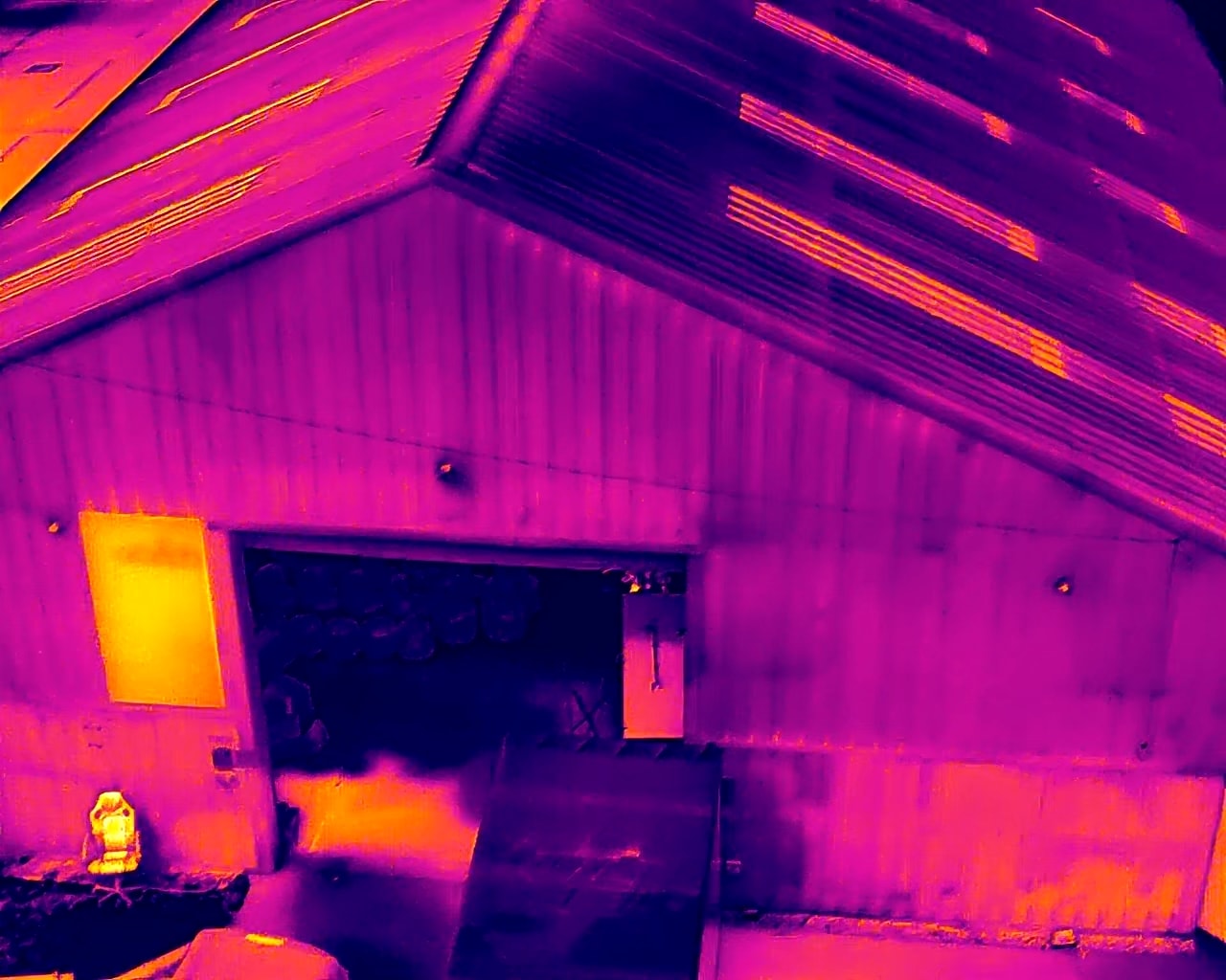
Standard cameras capture light reflected from surfaces. Thermal cameras do something fundamentally different: they detect infrared radiation — heat — emitted by objects themselves. The result is a radiometric image where temperature differences are rendered as colour gradients, revealing patterns that are completely invisible to the human eye.
When mounted on a drone, a thermal camera becomes an extraordinarily powerful inspection tool. You can cover large areas quickly, access locations that would be dangerous or impractical on foot, and capture data that tells a story no visual survey can.
How Thermal Imaging Works
Every object above absolute zero emits infrared radiation. The warmer the object, the more radiation it emits. A thermal camera's sensor — typically an uncooled microbolometer — measures this radiation across thousands of pixels simultaneously, producing a temperature map of the scene.
Modern drone-mounted thermal cameras like those on the DJI Matrice 4T can resolve temperature differences as small as 0.1°C, making them sensitive enough to detect early-stage moisture ingress in a flat roof, a failing solar cell in a large array, or a heat leak in a building's insulation.
Common Applications
Roof and Building Surveys
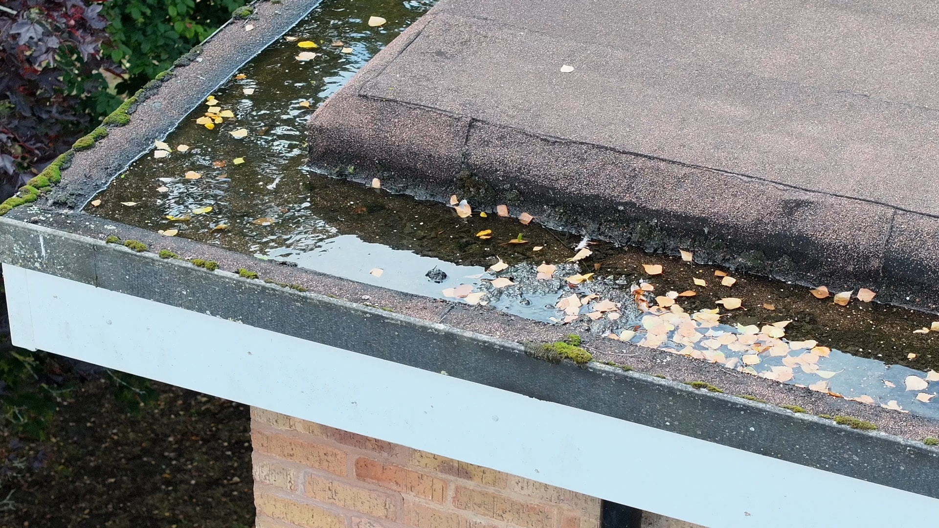
Water trapped in flat roofing systems absorbs heat during the day and releases it more slowly than dry material at night. A post-sunset thermal survey reveals these moisture pockets as warm patches against a cooling background — identifying problems that would otherwise require destructive investigation to locate.
Solar Panel Inspections
Faulty photovoltaic cells generate heat rather than electricity. A thermal drone survey of a solar farm can identify underperforming panels, bypass diode failures, and hotspots across hundreds of panels in a fraction of the time a ground-based inspection would take.
Infrastructure and Industrial Inspection
Electrical switchgear, pipelines, and industrial plant all generate heat signatures that change when components begin to fail. Thermal imaging allows predictive maintenance — identifying problems before they become failures.
Search and Locate Operations
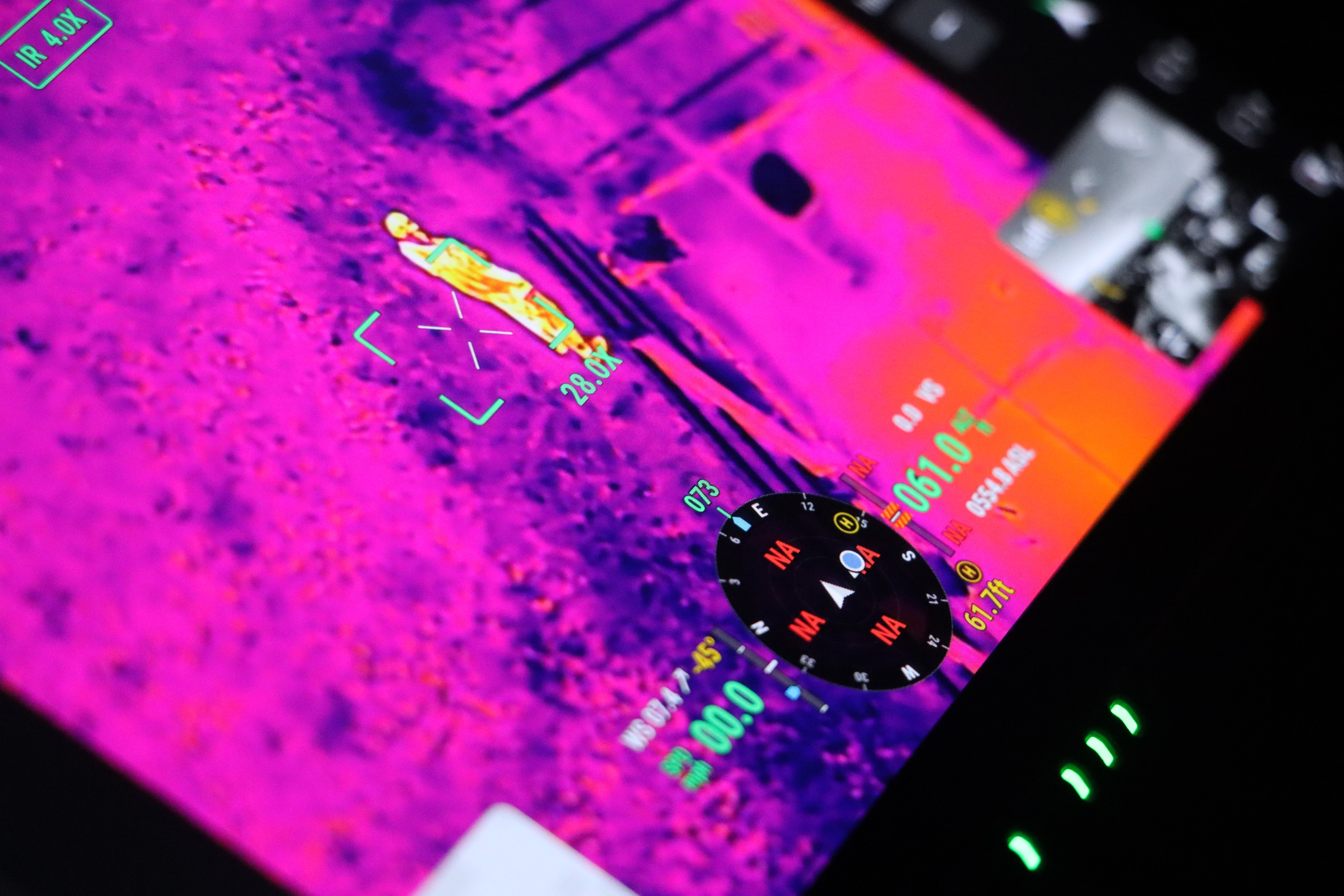
Human body heat is clearly visible against a cool background, making thermal cameras invaluable for locating missing persons, particularly at night or in low-visibility conditions. Our Search & Locate service uses thermal imaging as its primary detection tool.
Environmental Monitoring
Thermal imaging can detect water courses, identify invasive species, monitor livestock, and map vegetation stress — applications increasingly used in precision agriculture and ecological surveys.
Limitations to Understand
Thermal imaging is powerful, but it has constraints worth understanding:
- Weather dependency — Rain, high humidity, and strong wind all affect thermal readings. Most surveys require dry, calm conditions.
- Time of day — Many surveys (particularly roof moisture surveys) are most effective at dawn or dusk, when solar loading has equalised.
- Interpretation requires expertise — A thermal image is a data product, not a photograph. Accurate interpretation requires training and experience to avoid false positives.
What You Receive
A Stratus Intelligence thermal survey delivers radiometric images (where every pixel contains a real temperature value), annotated reports highlighting anomalies, and — where required — a written assessment with recommendations. Our Enhanced tier includes a full written report with prioritised findings.
If you're unsure whether thermal imaging is the right tool for your project, contact us for a no-obligation consultation.
Explore Topics
Written by
Callum Mason
Content creator and writer sharing insights and stories.