
Featured
Surveying & MappingWest Midlands
Residential Development Survey
Comprehensive aerial mapping of a residential development site, providing detailed orthomosaic imagery and elevation data for planning and progress tracking.
A showcase of drone operations, aerial imagery, thermal surveys, and film production projects delivered across the West Midlands and beyond.
Comprehensive aerial mapping of a residential development site, providing detailed orthomosaic imagery and elevation data for planning and progress tracking.
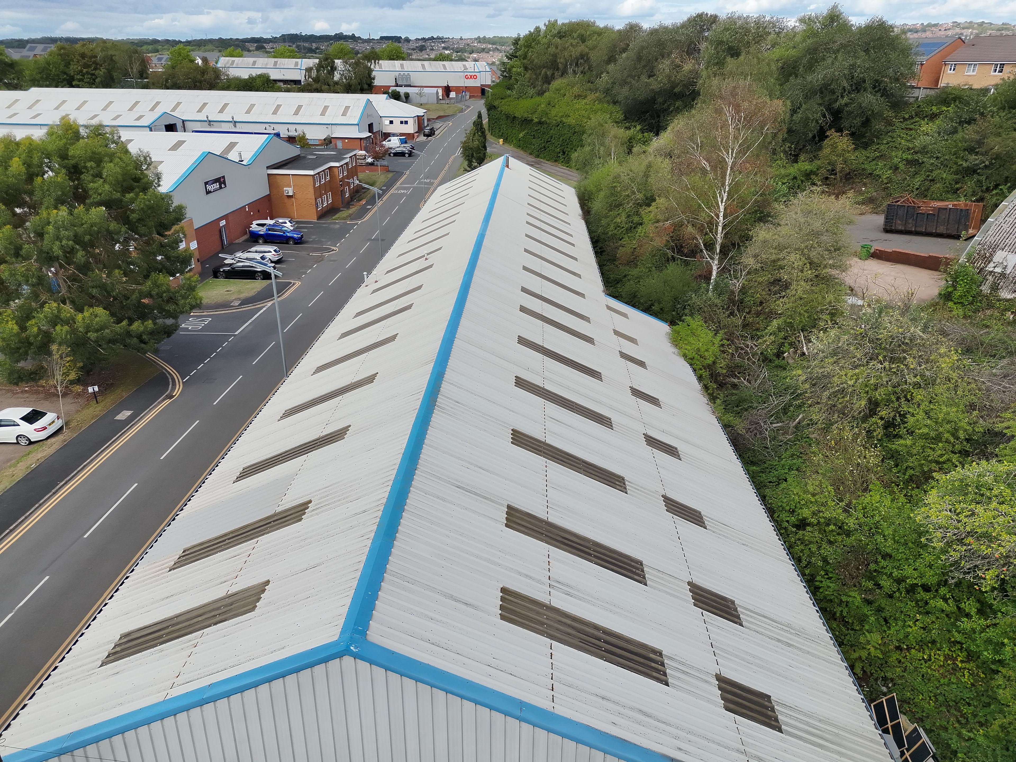
High-resolution aerial photography for a commercial property portfolio, capturing assets from multiple angles for marketing and valuation purposes.
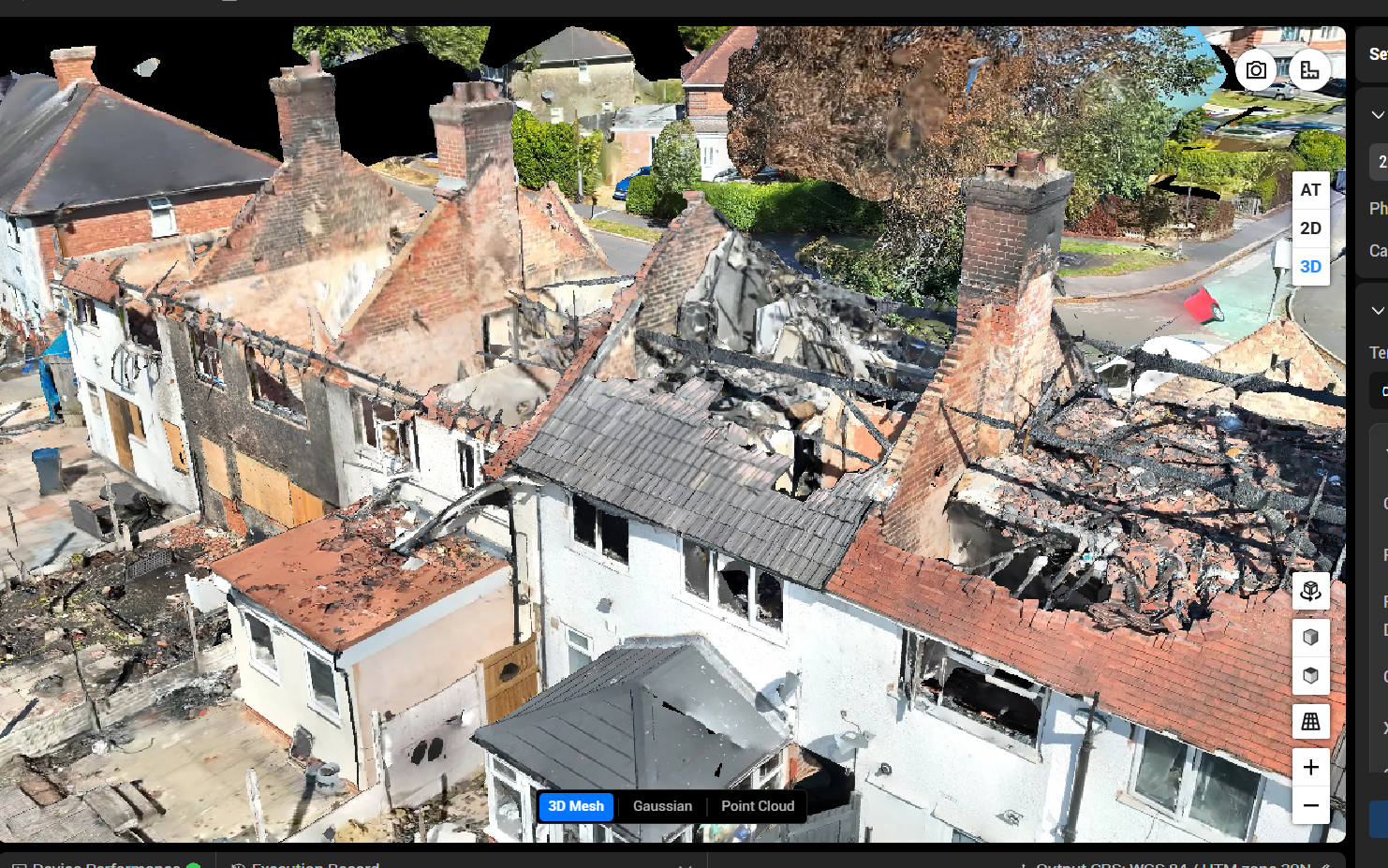
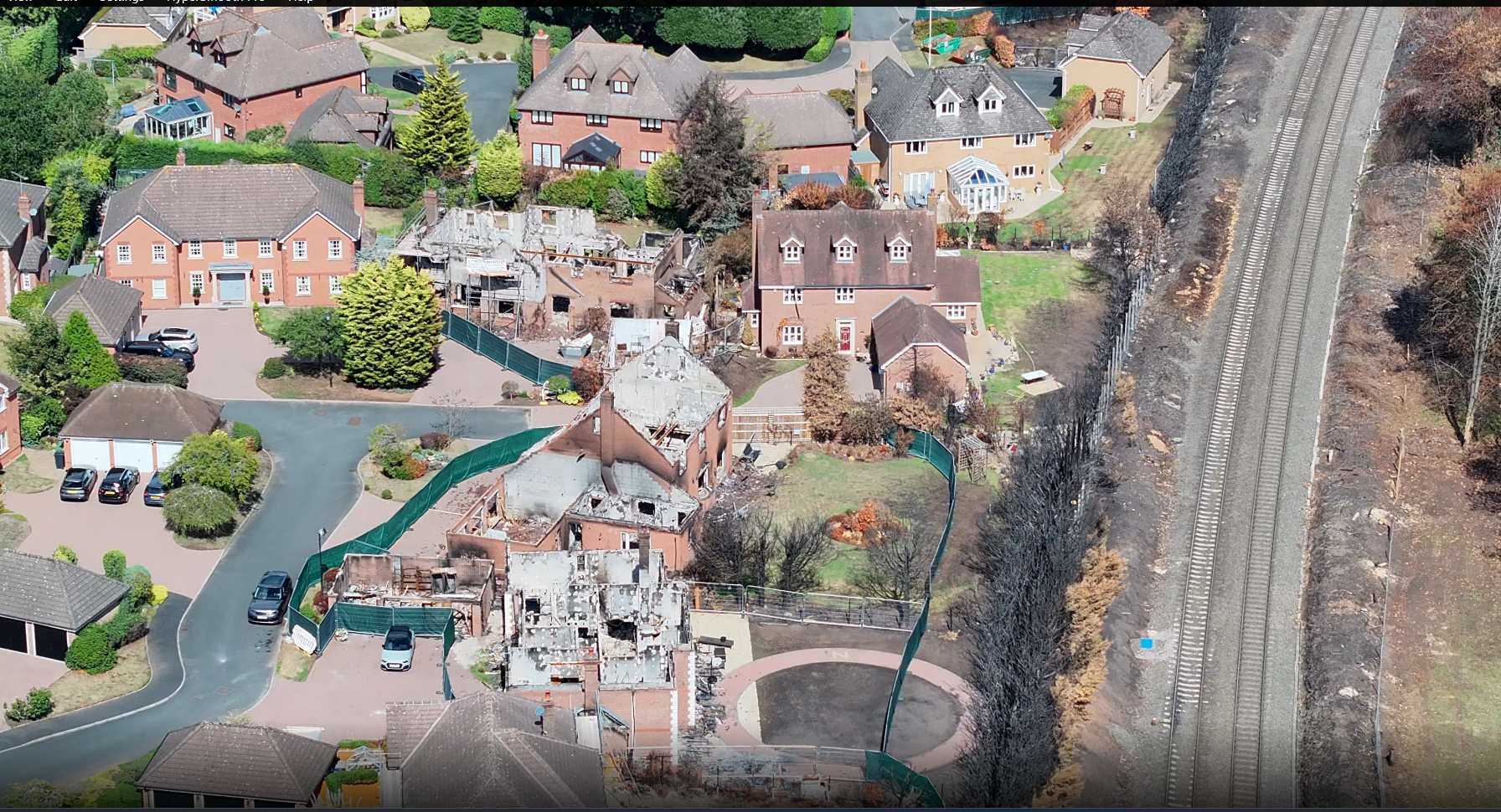
Rapid aerial assessment of fire-damaged properties, providing insurers and emergency services with detailed imagery to support claims and recovery planning.

Sweeping aerial coverage of a private Highland estate, delivering cinematic stills and video for marketing, land management, and heritage documentation.

Full thermal inspection of a large-scale solar installation, identifying underperforming panels, hotspots, and potential faults across the array.

Aerial environmental monitoring across moorland and nature reserves, supporting conservation teams with habitat mapping and change detection data.

Cinematic aerial sequences captured for a commercial film production, combining dynamic tracking shots with high-altitude wide-angle coverage.

Thermal drone deployment supporting a night-time search and rescue operation, providing real-time heat signature detection across difficult terrain.
Whether it's a one-off survey, ongoing aerial monitoring, or a full film production — get in touch and we'll put together a tailored proposal.
Discuss your project